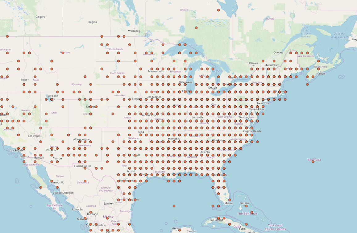
QGis Mapping solution
Since the Laditude and Longitude is a Decimal only I could not really map them correctly. I found a script that might convert Decimal to usable coordinates but I haven’t been able to run it yet.
Script:
# Pre-logic
def latDD(x):
  D = int(x[1:3])
  M = int(x[3:5])
  S = float(x[5:])
  DD = D + float(M)/60 + float(S)/3600
  return DD

# Expression
latDD(!Latitude!)
Map created with QGis for dispatch year 1860
The complete script is described in blog post “Text to Map One HW 10” Link.